Walking the Ridgeway: Sparsholt Firs to East Hendred Down
The Ridgeway – Sparsholt Firs to East Hendred Down (7.8 miles)

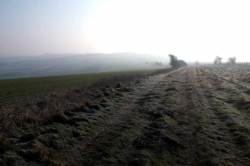
Heading eastwards from Sparsholt Firs, I crunched over the frosted ground. Crowhole Bottom stretched out to my left, its vast fields reaching as far as Letcombe Bassett below. Walking on Letcombe Regis was visible further north.

Before crossing the A338 (an enjoyable A road from Bournemouth to Wantage), the mound walls of Segsbury Castle were visible on my left.

Continuing on past house and farm out buildings, I pass small stretched of yew woodland.
As the sound of the A34 grew nearer, I saw a reservoir on the left and headed alongside further thickets. Approaching Cuckhamsley Hill (which has a trig point) and East Hendred car park, the towers of Didcot Power station could be seen rising from the mist.
Part 6 - East Hendred Down to Bury Down »
More to view:
Share


